


Publications > Summary
Tech to Track: Harnessing the potential of spatial data & digital technologies to prioritise nature and climate action
This paper aims to inspire decision-makers in both the public and private sector to use spatial intelligence as an enabler for integrated nature and climate action. It showcases ’emerging’ data sources and digital technology in the nature and climate space and their use in providing spatial intelligence to decision-makers. All specific tools and solutions mentioned are examples and not exhaustive of all that is (increasingly) available.
Key messages
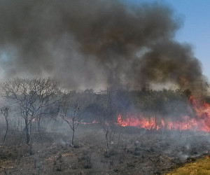
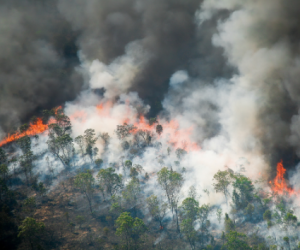
- With COP27 approaching, climate change and the intertwined nature crisis are two dual crises increasingly drawing the attention of governments, businesses and finance. This integration is key, as nature-based solutions could contribute more than 30% of the emission reductions and carbon capture needed to reach net zero by 2050, as required by the Paris Agreement.
- Policy makers and standard setters are increasingly prioritising nature and codifying what it means to be ‘nature-positive’. The Science Based Targets Network’s impending guidance, and Taskforce on Nature-related Financial Disclosures’, TNFD’s, beta framework are setting out key metrics and indicators for measuring nature impacts and dependencies. However, governments, businesses and finance lack the data to track progress towards ‘nature positive’ and ‘net zero’ emissions.
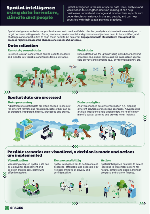
- To enable governments, businesses and finance to act, spatial intelligence needs to be available to help prioritise and track location-specific actions for both nature and climate.
- Fortunately, technology is transforming the collection of on-the-ground data, alongside a revolution in the application of data science and satellite technologies making monitoring of the state of our planet cheaper, more accessible and expanding use cases.
- To unlock the potential of new spatial data and technologies for nature and climate, three things are needed: 1) more investment in, and collection of, data by private and public actors; 2) trusted, standardised measurement frameworks to ensure like-for-like collection and comparison; 3) radical transparency – data should be made accessible and shared as a public good – the future of people and the planet depends on it.
Related Themes
Related Content
Related Partners (4)