


News > News
25.07.25
IIS Project Wins MapBiomas Award in the Climate Emergency Category
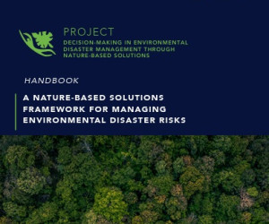
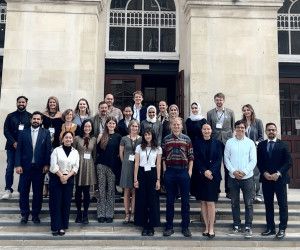
The project “Analytical Tool for Environmental Disaster Mitigation” was one of the winners of the 7th MapBiomas Award in the Climate Emergency category, which debuted in this edition. The initiative develops a framework for environmental risk management through the application of Nature-based Solutions (NbS) and uses the institution’s maps as the database for the study. The award ceremony was held on 7 July at the auditorium of the Institute for Teaching and Research (Insper), in São Paulo.
“The award result was received with great enthusiasm by the entire team. I would like to thank everyone involved in the project and MapBiomas for providing a high-quality database, which not only enables the advancement of science in Brazil, but also strengthens the bridge between research and decision-making processes,” said Viviane Dib, Head of Research and Development at IIS and project collaborator, upon receiving the award.
The award, in partnership with Instituto Ciência Hoje, recognised nine projects that stimulated and expanded applications and work using data from any MapBiomas product, module, or initiative. MapBiomas is a collaborative and multi-institutional network involving over 100 institutions, including universities, NGOs, and tech companies, across 14 countries (Argentina, Bolivia, Brazil, Chile, Colombia, Ecuador, Guyana, French Guiana, Indonesia, Paraguay, Peru, Suriname, Uruguay, Venezuela).
The researchers credited with the project are Viviane Dib, Fernando Resende, Stella Manes, Julia Niemeyer, Luiz Oliveira, Fernanda Gomes, Agnieszka Latawiec, Rafael Loyola, and Juliana de Almeida-Rocha.
Learn more about the project
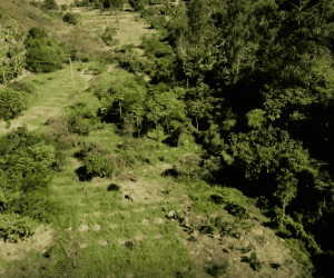
The project was designed to support decision-making across different territorial scales and socio-environmental contexts. The framework was applied to the state of Rio de Janeiro as a case study, given its population density, economic relevance, and climate vulnerability.
“This study aimed to develop a framework applicable to different scales and contexts, based on Nature-based Solutions. It functions as a guide for the decision-making process in situations of environmental risk,” explains Fernando Resende, IIS researcher and project collaborator.
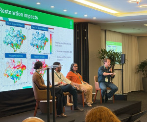
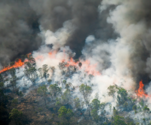
Using data from the MapBiomas platform, the team projected future land use scenarios for the year 2050 — pessimistic, neutral, and optimistic — based on the historical series of vegetation loss and gain in the state. The tool enabled the identification of priority areas for the conservation and restoration of native vegetation with potential to mitigate flood risks, promote thermal comfort, and provide coastal protection, especially in socially vulnerable regions.
“We were able to identify areas that can reduce flood risk, promote thermal comfort, and protect the coastal zone. We also estimated co-benefits such as potential carbon storage and the reduction of species extinction risk,” said Stella Manes, IIS researcher and project collaborator. The team also calculated the approximate cost required for conservation and restoration actions in the mapped areas.
The choice of MapBiomas data was based on factors such as methodological consistency, frequent updates, and compatibility with other scientific studies.
“From the outset, we planned to use MapBiomas data because we needed a reliable historical series on vegetation cover in the state. Moreover, the platform’s reputation facilitates the adoption of our results by other research groups,” added Stella.
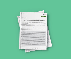
The next steps include the publication of a scientific paper, currently under review, and the preparation of a Portuguese-language manual for decision-makers, detailing the steps of the framework’s application in Rio de Janeiro. The team also plans to engage with the State Institute for the Environment (INEA) to incorporate the results into public policies and climate adaptation plans.
The project is part of a broader initiative developed by IIS with support from the Swiss Re Foundation.